Tropical Storm Erika Could Be A Threat To U.S. Coast By Sunday
Trying to guess on Wednesday what will happen Sunday is hard to do no matter what you're guessing about. If you're guessing about the track of a tropical cyclone you're almost guaranteed to be wrong.
Still the long range outlook from the National Hurricane Center has been increasingly accurate over the past few decades of forecasting and this ability to project the track of storms has probably saved millions of lives and billions of dollars in property.
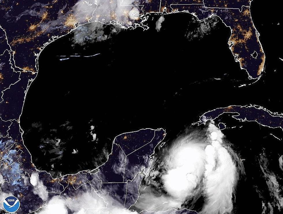
The long range outlook for Tropical Storm Erika will most likely involve some interaction with the United States mainland. It does look like the most likely place for a landfall or blow by will be the Florida Peninsula. The official track of Erika through the next several days will carry the system through the Leeward Islands late tonight and early Thursday. The system will brush by Puerto Rico and move into the islands of the Bahamas by weeks end.
The tracking models are in disagreement the further out in time we observe the forecast. Some suggest a right hand turn that would keep the system out at sea. Others forecast the system to come very close to if not actually crossing the Florida coast.
As of the latest advisory Erika remained a minimal tropical storm but some strengthening is expected over the next few days. It is thought the system could be a Category 1 hurricane by Sunday as it nears the east coast of Florida.
More From 97.3 The Dawg


