
Tropical Storm Bertha Is Hours Away From The Louisiana Coast
(KMDL-FM) After about a week of watching, wondering, and speculating about the weather system that tropical forecasters have named Bertha, it now appears as though we have an imminent landfall. And as luck would have it for the second time this Hurricane Season, Louisiana and the Louisiana coast will be involved.
And the timeline for the Louisiana Coast's involvement with landfalling Tropical Storm Bertha appears to be focusing on this afternoon. The current track guidance from the National Hurricane Center suggests the center of Bertha's circulation will cross the coast in either St Bernard Parish or, more likely, Plaquemines Parish.
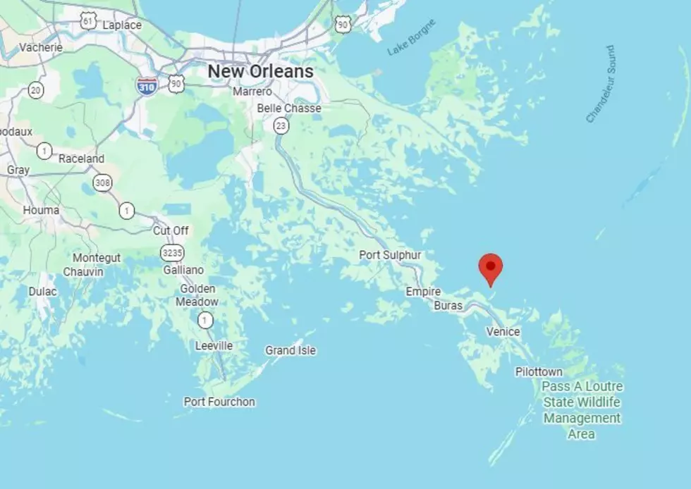
That Pin you see posted just above Buras, Louisiana, on the map above from Google suggests the forecast point for the center of circulation about 1 this afternoon. If the track guidance shifts further south, the storm's center might only scrape the mouth of the Mississippi River as the storm moves westward.
Fortunately, Tropical Storm Bertha is not forecast to be the weathermaker that Tropical Storm Arthur was earlier this year. You may recall that remnant rains from Arthur inundated portions of Louisiana with almost two feet of rain. Bertha does not appear to have the ingredients for that, but this is Mother Nature, so you never know.
Here is the 4:00 AM Advisory for Tropical Storm Bertha
At 4 AM, the National Hurricane Center reported the center of circulation for Tropical Storm Bertha was about 50 miles east-northeast of the mouth of the Mississippi River. The maximum sustained winds in the storm were clocked at 50 mph.
The motion of Bertha was to the west (270 degrees). The forward speed to the west was reported to be 5 mph. Tropical Storm force winds (39 mph or greater) extend out 105 miles from the storm's center.
Here is the 4 AM Track Guidance for Tropical Storm Bertha

The storm is expected to weaken as it moves along the northern Gulf Coast over the next few days. Most of the heavy rain and thunderstorms associated with Bertha are well offshore. In fact, the Extreme Heat might be more of a concern for Louisiana residents further inland, but there will be wind, wave, and surge concerns along the coast as the storm passes by.
And yes, there will be showers and thunderstorms produced by the system. The current thinking from KATC TV suggests that Thursday will be more of a rainy day across Lafayette, Lake Charles, and Baton Rouge than today will be.
READ MORE: Sandbag Locations Open in Several Louisiana Parishes
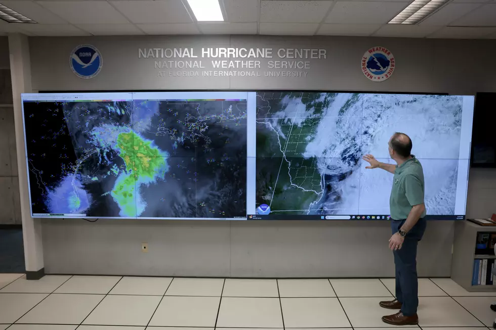
Here's the current National Weather Service Radar scan of showers and storms along the coast that have been spawned by Bertha. This scan was made at 4 am.

We do expect more showers and storms to form later today; some of those will be spawned by Bertha, others will be spawned by daytime heating and humidity.
READ MORE: Why Permanent Daylight Saving Time Might Not Happen At All
While we can't officially let our guard down yet, it does look as if Louisiana and Acadiana may have dodged yet another tropical bullet in the current Hurricane Season.
Acadiana's 8 Most Popular Delivery Meals on a Rainy Day
Gallery Credit: Bruce Mikells
More From 97.3 The Dawg