
Tropical Storm Bertha: Overnight Update – Track Has Shifted
(KMDL-FM) Louisiana residents have been keeping a close watch on the Gulf and the formation of Tropical Storm Bertha. The storm system was upgraded to a tropical storm on Monday. It is expected to impact the Louisiana coastline late Wednesday night or very early Thursday morning. Based on new findings in the overnight updates, it does appear as though the projected track of Bertha has shifted.
What Does a Shift in Tropical Storm Bertha's Track Mean For Acadiana?
Here's where we caution you not to focus on the storm's center of circulation. A lot of the convection, showers, and thunderstorms associated with the storm are well away from that center point. Hence, close counts in hurricanes as it does in horseshoes; it doesn't take a direct hit from a big storm to create issues.
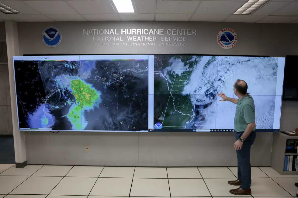
The good news about Bertha is that it is not a big storm. It's not very organized now, but there is the potential that the storm system could strengthen before it makes landfall. Speaking of landfall, that appears to be very likely along the east coast of Louisiana.
Hurricane Center Updates Tropical Storm Bertha Track and Strength
We mentioned the track guidance for Bertha had shifted. Here's what that looks like based on the National Hurricane Center's 4 AM Advisory.

One thing of note from the National Hurricane Center's 4 am Tropical Discussion, there are a lot of tropical models that show Bertha will not maintain its status as a tropical cyclone; that means not a tropical storm or a tropical depression, by the time it's forecast to be onshore in Louisiana.
The Hurricane Center's track forecast assumes the storm will stay together, but don't be surprised if it fades away over Vermilion Bay during the day on Thursday.
Here are the updated statistics on Bertha as of 4 AM:
The maximum sustained winds were listed at 50 mph. That's significantly higher than what we reported at this time on Monday. The system is drifting slowly to the northwest (315 degrees) at 5 mph. This motion is expected to continue throughout the day today, with perhaps a more west-northwest turn followed by an almost due west turn.
The storm's center of circulation was about 110 miles south-southwest of Panama City, Florida, which also positions the storm about 170 miles southeast of Mobile, Alabama.
Tropical storm watches and warnings have been posted along the northern Gulf Coast:
A Tropical Storm Warning is in effect for...
* Alabama/Florida border to the Jefferson/Plaquemines Parish border
in Louisiana
A Storm Surge Watch is in effect for...
* Alabama/Florida Border to the Mouth of the Mississippi River
A Tropical Storm Watch is in effect for...
* Bay/Gulf County line in Florida westward to the Florida/Alabama
border
* West of the Jefferson/Plaquemines Parish border to Morgan City,
Louisiana
* Metropolitan New Orleans, Lake Pontchartrain, and Lake Maurepas
Additional watches or warnings may be required later today.
Watches and warnings updates courtesy of the National Hurricane Center, who expect to be issuing more of those today.
As far as how Tropical Storm Bertha will affect your plans, the short answer is probably not a lot. Breyanna Lewis at KATC.com has a wonderful explainer on the TV station's website. Here is a graphic that Breyanna uses to explain the impacts that you and I are most likely to experience and when.

Meanwhile, if we don't get any tropical rains from Bertha, it's just going to be hot, really hot. There is a heat advisory for the entire state of Louisiana today. That will probably be reissued or extended for tomorrow.
READ MORE: Probability of Named Storm Making Landfall in Your Parish
And after Bertha moves on or dissipates, we will be back to our typical summertime pattern. It will be hot and humid with a threat of afternoon and evening showers and thunderstorms until October, or so it seems.
2026 Atlantic Hurricane Names: Complete List From NOAA
Gallery Credit: Michaela Johnson
More From 97.3 The Dawg