Tropics Active With Three Hurricanes
Before the 2017 Hurricane Season started forecasters were predicting an average to above average storm season. With a named storm occurring before the season even began forecasters upped the ante on the prognostication saying it was going to be an above average season for sure. By the looks of things in the Tropical Atlantic today I would say the weather guessers guessed pretty good.
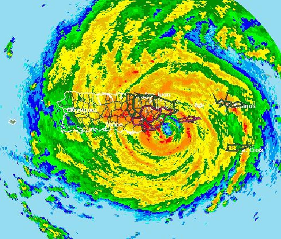
There are currently three active hurricanes spinning in the tropical waters of the Atlantic Basin. By far the most dangerous storm in size, intensity, and proximity to populated areas is Hurricane Irma. Here is the latest track forecast for Irma.
This storm is a category 5 storm on the Saffir-Simpson scale. Category 5 is as big as they get and this storm is a monster. It's already rolled through some of the smaller islands of the eastern Caribbean and has just skirted to the north of Puerto Rico. Forecasters believe the next landfall for Irma will be in the Bahamas later today. Then the next encounter with land could be the United States mainland sometime this weekend.
Hurricane Katia is a category 1 hurricane in the Bay of Campeche. It is expected to push to the southwest and into Mexico, A cold front that pushed through Louisiana yesterday is responsible for keeping Katia away from the U.S. mainland. It will most likely be a major rain producer for portions of Mexico over the next few days. Here is the track forecast for Hurricane Katia.
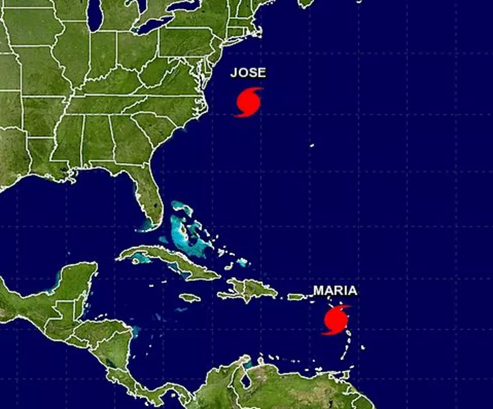
Hurricane Jose is almost following in Irma's footsteps. However, forecasters believe that system which has shown an increase in intensity over the past 24 hours, will stay out to sea. I certainly hope this will be the case. Here is the latest forecast track for Jose.
The official peak of the hurricane season is September 10th. That is this Sunday. Let's hope we don't have the same kind of activity going down the backside of the season that we've experienced so far.
More From 97.3 The Dawg