
Tuesday Storm Update – Flooding Looming for Louisiana
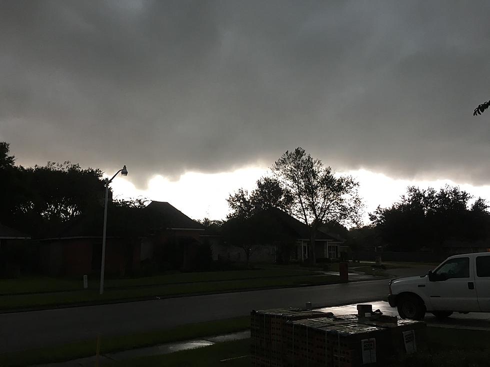
National Weather Service radars all along the Upper Texas Coast and Coastal Louisiana have been busy this morning. An active storm system is slowly pushing out of Texas and into Louisiana. And by slowly, we mean residents of Lafayette, Lake Charles, Shreveport, Baton Rouge, and Alexandria could be under the gun for flooding rains and severe weather through Thursday night.

That's a look at the National Weather Service Radar scan from the National Mosaic Radar site. If you open that site, you can see weather radar from across the nation. And if you expand that scan a few hundred more miles, you can see that well to the west of Louisiana is the reason for our concerns about heavy rain, severe weather, and potential flooding over the next few days.

All of that precipitation you see in Texas and Far West Texas, in particular, will have to migrate through Louisiana over the next few days. That's why there is such a concern about weather impacts across the region.
Where is the Flood Watch in Louisiana Today?
Currently, the entire state of Louisiana is under a Flood Watch. That watch will be in effect through Thursday evening. Forecasters are warning that anticipated rainfall amounts of four to eight inches will be common across the watch area.
If you didn't pick up on that, the "watch area" is all of Louisiana. So, no matter where you are over the next day or so, you will have to deal with the potential for flooding rains.

READ MORE: School Closures Because of Severe Weather
READ MORE: Sandbag Locations in Acadiana
Some areas of the state will also need to keep a watchful eye on the sky for severe storms. Some of those storms could contain small hail, gusty winds, frequent lightning, and there is a potential for tornadoes as well.
What is the Threat of Severe Storms Across Louisiana Today?
The latest guidance on severe storm prediction comes from the Storm Prediction Center. As you can see in the graphic below, the most likely area for severe storms today is just to the west of Louisiana in eastern Texas.

However, a larger portion of Louisiana has now been included in a slight risk of strong storms during the day as well. Residents of Lake Charles, Lafayette, Baton Rouge, Alexandria, Shreveport, and Marksville will need to be weather aware throughout the day and into the evening.
The Weather Prediction Center has also upgraded and expanded its concerns over flooding rains. With the exception of a small sliver of coastal Louisiana, the entire state is at a moderate risk of excessive rainfall. You can see that in the graphic below. That means forecasters believe that some storms can and will produce rainfall rates that will inundate municipal drainage systems.

If you have the chance this morning, you might want to check the drains and ditches around your property to make sure they are clear of debris and yard waste. This will help when the really heavy rains start to fall later today and tomorrow.
Based on National Weather Service Guidance, the heaviest storms won't move into Louisiana until later this afternoon. As of now, the NWS Forecast Office in Lake Charles is calling for rainfall amounts of a quarter of an inch during the day today.
When Will The Heaviest Rain Begin to Fall Across Louisiana?
However, overnight, there could be deluges and downpours that could drop another two to three inches across the forecast area. Those heavy downpours are expected to continue throughout the day on Wednesday. The chances for heavy rain will continue during the day on Thursday, with rain chances finally diminishing on Thursday evening.

Make sure you turn on "ALERTS" for Weather and Breaking News when you download the app. We will deliver important information right to the palm of your hand to keep you and your family safe.
Rain chances will linger in the area on Friday, with conditions improving for the Mother's Day Holiday weekend.
Common Car Problems Caused by Driving Through High Water
More From 97.3 The Dawg


