
Unsettled Weather Returns To South Louisiana
Most of the time a significant chance of showers or thunderstorms in the forecast brings a lot disappointment to the listening area. In the case of the recent heatwave we've all been suffering through a legitimate chance of a shower or thunderstorms is seen as welcome relief.
Just last week the U.S. Drought Monitor had placed portions of South Louisiana in the severe drought category. It as is Mother Nature read the report and decided to look favorably on this part of the world because rain chances are returning to the area.
The current forecast from the National Weather Service calls for an increase in moisture over the area as a strong ridge of high pressure slowly releases its grip on the area. That has been the reason why we've been so hot and dry for the past several weeks. This increased moisture will enhance the chance of showers and thunderstorms significantly over the next few days.
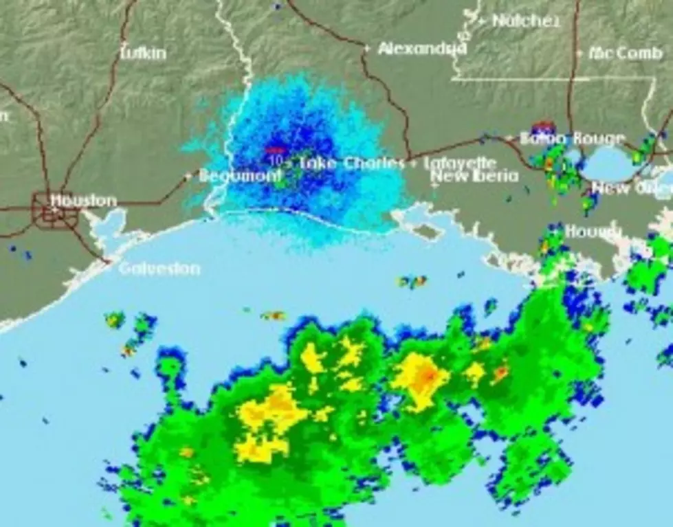
At mid morning the National Weather Service Radar was showing a large area of rain poised just off the Louisiana coastline. This area of showers and thunderstorms was drifting slowly to the north and could bring rainfall to the areas south of Interstate 10 by the late afternoon hours.
More From 97.3 The Dawg


