Hurricane Hunters Find Dorian Growing Stronger
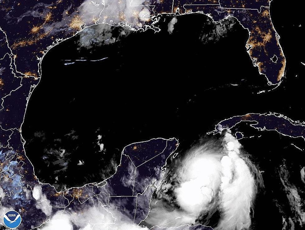
The forecast track for Hurricane Dorian continues to suggest good news for interest in the Gulf of Mexico and not good news at all for residents of Florida from Tallahassee down to Miami. To make matters even worse, during the overnight hours, Hurricane Hunter aircraft again flew into the circulation of the storm and discovered that Hurricane Dorian is getting stronger.
The projected path of Dorian has shifted very little over the last 12 hours or so. Forecasters still believe the storm will make landfall in the United States on the east coast of Florida as a major hurricane. Forecast guidance now suggests that landfall will take place between Cape Canaveral and Fort Lauderdale.
Many of the tropical forecast models are now pulling the storm system northward after landfall. Should those scenarios come to fruition that guidance would keep the center of circulation of Dorian out of the Gulf of Mexico. However, it would drag this very strong and dangerous storm system over some of the most populated areas of the state including the resorts located near Orlando.
The arrival time of Dorian on the coast has also been amended by the National Hurricane Center. Forecasters now believe it could be sometime very late Monday night or very early Tuesday morning before Dorian crosses the coast in Florida.
More From 97.3 The Dawg


