Tropical Storm Warning Issued For Louisiana Coast
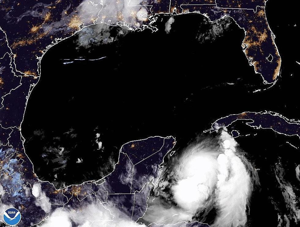
Tropical Storm Gordon has formed and is heading in the general direction of the southeast Louisiana coast. Therefore a tropical storm warning has been posted for the southeastern Louisiana coast.
The National Hurricane Center says Gordon is currently passing through the Florida Keys. Tropical Storm warnings have been posted for The Keys and portions of southwest Florida. The biggest issue in Florida and in Louisiana will likely be the potential for flooding rains.
The forecast track for Gordon is generally to the west-northwest. This motion at 16 mph will have Gordon racing across the Gulf of Mexico. This along with atmospheric conditions should help keep the system strengthening quickly. As of now, the most likely landfall will take place between the mouth of the Mississippi River and Mobile Bay.
The current forecast suggests that the system (potentially Gordon) will have maximum sustained wind speeds of 60 mph or slightly more at the time of projected landfall. The system will also be a prodigious rain producer.
How does this system affect Acadiana? It will move our rain opportunities from hit and miss to a lot more likely especially Wednesday and Thursday. There will also be the potential for flooding. Residents who live in areas where high water is common will want to monitor the progress of this storm.
More From 97.3 The Dawg


