Watching the Tropics – Hanna Makes Landfall, Isaias Forming
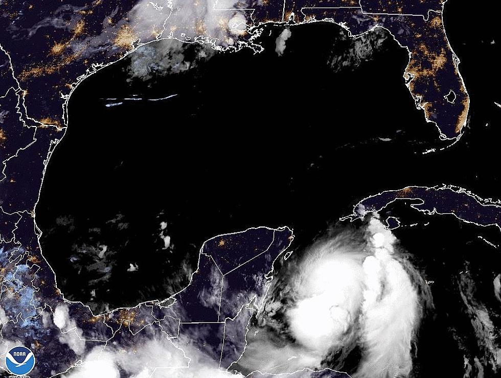
That weather system that a week ago was given less than a 20% chance of becoming more than just a few rain squalls and gusty breezes roared ashore as a category 1 hurricane Hanna on Saturday. Fortunately, damage from the system was not as bad as it could have been. Although thousands did lose power and even more have a lot of cleaning up to do.
That other system we were watching late last week, Gonzalo fell apart over the weekend. The system was rather small in size compared to most tropical systems. Atmospheric conditions in Gonzalo's general vicinity were the reason the system lost it punch and eventually dissipated.
Up next on the tropical scene is a strong tropical wave that rolled off the African coast late last week. This system is about halfway between the Lesser Antilles and the African coast. It has been given a 90% probability of becoming a tropical cyclone by as early as today. Should the system earn a name it would be called Isaias (pronounced: Eye sigh us).
The Hurricane Center's track forecast brings the system in the general direction of Puerto Rico and Hispanola over the next five days. Most of the reliable tropical track forecasts are in agreement with that motion. Many of the models do call for the system to take a more northerly track as it moves over the Bahamas.
As of now, the storm does not appear to be an imminent threat to the U.S. Coastline. But the forecast and track guidance is subject to change. Just like we saw with Hanna last week, things can change quickly in the tropics so do check back with us often.
Check out these 50 fascinating facts about dogs:
More From 97.3 The Dawg


