
Wet ‘Microburst’ Storms Possible Across Louisiana Today
(KMDL-FM) Forecasters with the National Weather Service Office in Lake Charles, Louisiana, have added a bit of a caveat to our "chance of afternoon showers and storms" this Labor Day. Yes, the rain chance is not that large. However, if you happen to get a shower or a thunderstorm, it might be memorable.

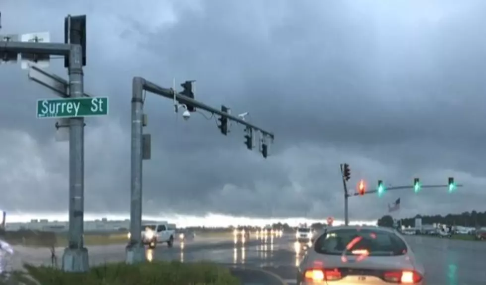
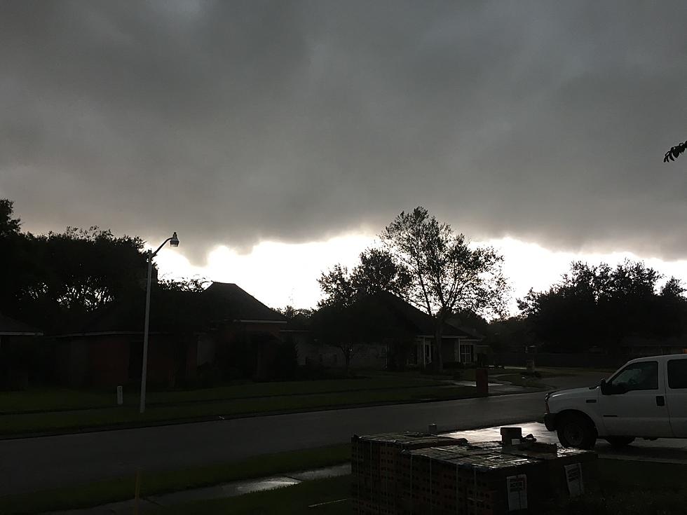
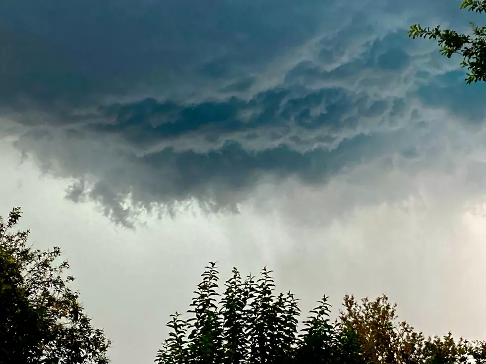
There is a potential for severe weather across all of South Louisiana, and forecasters are warning of "wet microbursts" that bring intense rainfall and damaging winds to parts of Louisiana's I-10 corridor this afternoon and early evening.
The potential for heavy downpours with frequent lightning will be similar to what the region experienced on Saturday afternoon and evening. If you recall, both the LSU vs Clemson game and the Ragin' Cajuns vs Lamar game were affected by lightning and weather delays right up until kickoff.

Forecasters do not think the showers and storms will be more numerous than they were on Saturday, but the potential for stronger, even severe thunderstorms is a part of today's outlook. The Storm Prediction Center has a large portion of South Louisiana in the marginal risk zone for severe thunderstorms today.
What Is a Wet Microburst?

A microburst is a weather phenomenon in which a localized column of sinking air within a thunderstorm sinks all the way to ground level. Often, this down drafts contain high-velocity winds, and when those winds hit the ground, they fan out in all directions, creating localized straight-line wind damage.
READ MORE: Best Thermostat Setting to Beat the Louisiana Heat and Still Afford It
Many of you are familiar with an outflow boundary around a thunderstorm; this would be very similar but a lot more violent. In fact, a microburst downdraft is believed to have played a part in a crash at the New Orleans Airport back in 1982. Today's forecast includes a threat of "wet microbursts," which means the high-velocity downdraft will be accompanied by very heavy rain.
How Significant is the Severe Weather Threat Across Louisiana Today?
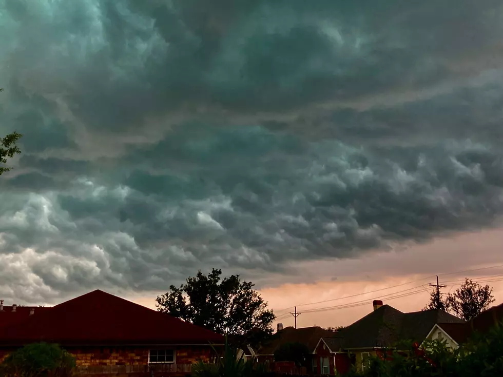
Most of South Louisiana will not experience these kinds of storms today, but the potential is there, so you should be aware of the threat. By far, today's biggest weather concern will be the heat. Heat Advisories are posted for all of Louisiana, and some of the extended forecasts say it will be even hotter before we finally cool off.
There is a potential flooding threat for Louisiana residents on Thursday and Friday; this will come in the form of excessive rainfall events on a localized basis. Forecasters believe showers and storms will become more widespread and more numerous as the workweek ends.

Basically, forecasters believe some of the storms the area will experience on Thursday and Friday will be capable of dropping rainfall amounts that can temporarily overwhelm municipal drainage systems.
READ MORE: Acadiana's Favorite Mocktails - The Flavor and Fun Without the Buzz
As of now, there is no concern of widespread flooding or a major rainfall accumulation event. In the meantime, be cognizant of the heat and plan your outside activities accordingly. Maybe you could have a nice salad... okay, not for Labor Day, but tomorrow when you're ready to focus on your "diet." Yeah, let's go with that.
Acadiana's Most Popular Specialty Salads - 10 We Think You Should Try Today
Gallery Credit: Bruce Mikells
More From 97.3 The Dawg