It looks like most of the heavier rain will hold off until later this afternoon and into tonight. The weekend will be considerably cooler than what we've seen over the past few weeks.
So far there have been four named storms, three of those reached hurricane status. Currently there are two areas of concern the National Hurricane Center is monitoring.
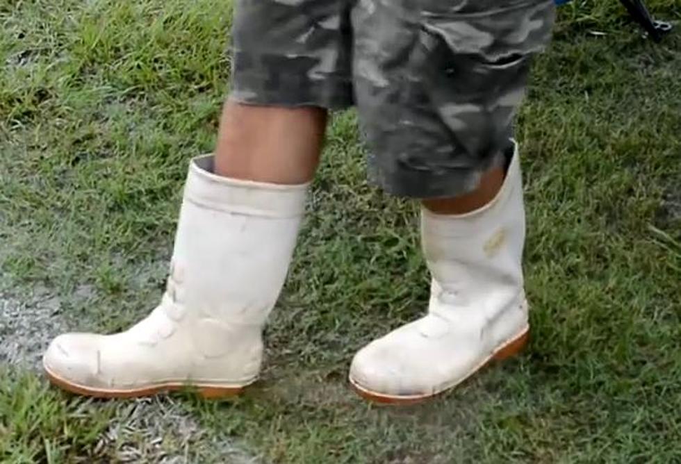
Will you want your red rubber boots for this Saturday's Ragin Cajun game with Louisiana Tech? Might want to check out what Dave Baker has to say before you head to the stadium.
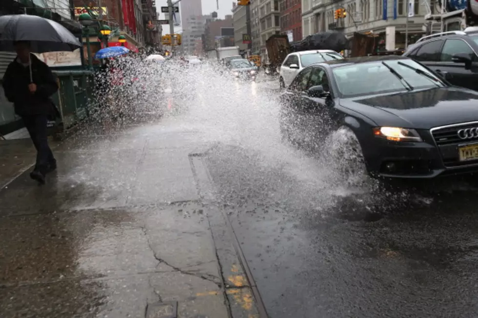
The moisture is being pulled from a weak tropical wave that has settled into the Texas coastline near Brownsville. This disturbance will provide ample moisture in the atmosphere for rain chances to be very high for Friday and even higher on Saturday.
Most of the models are developing the system into at least a tropical depression over the next few days. The Hurricane Center list that probability at 70% over the next 5 days.
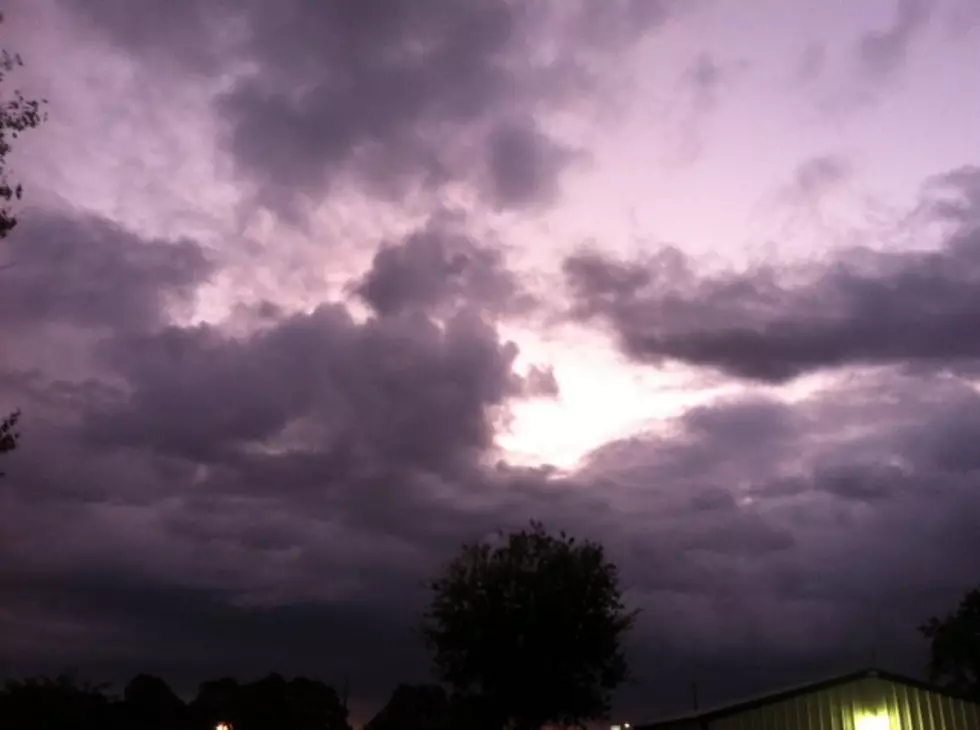
For the fourth time in the past six weeks Acadiana's summer has turned down the heat and humidity with a passing cold front. How long will the more pleasant conditions last this time?
One more weekend before classes begin for most students in Acadiana. It will be a good weekend for Summer time activities provided you can find some shade and cold water.
We hear terms like 30%, 40%, and 60% chances of rain all the time. What does that really mean? The answer might make you the most interesting man in the world.
A nice scattering of rain and thunderstorms this afternoon will yield to less humid conditions for tomorrow. We need the rain and we'll take the drier air.
Expect a return of higher temperatures and higher humidity as the work week wears on. This will also mean a return of afternoon and early evening showers and thunderstorms.
A lingering low pressure system off the South Carolina coast shows a strong possibility of developing into a tropical depression over the next several days.